A Century of Great Earthquakes
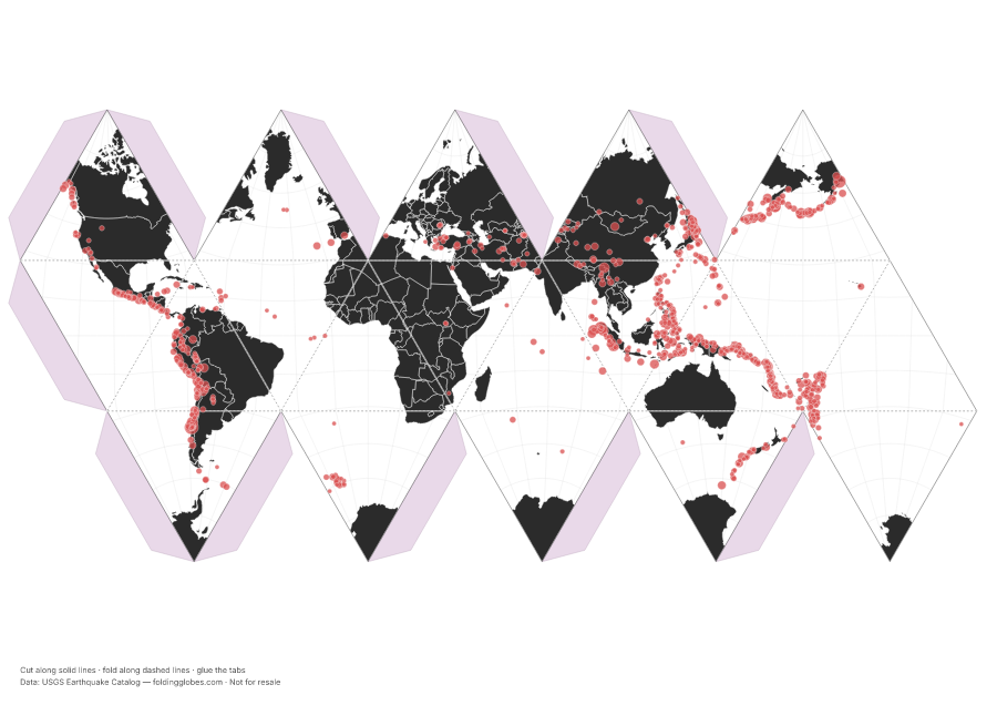
Every magnitude-7+ earthquake since 1950 — the Ring of Fire draws itself.
About this globe
Every earthquake of magnitude 7 or greater recorded since 1950, from the USGS catalog. Nobody drew the plate boundaries on this globe — the earthquakes draw them for you.
Dot size scales with magnitude, and the scale is deceptive: each whole-number step releases about 32 times more energy. The Ring of Fire around the Pacific holds most of the planet's largest quakes.
Download free — pick your paper size
Print at 100% scale. Cut along solid lines, fold along dashed lines, glue the tabs. Your PDF can take up to a minute to prepare — hang tight after clicking.
In the US? Print the A4 file and choose “fit to page” — it scales cleanly onto Letter paper.
Sharing this globe?
Free for personal use, classrooms, and gifts — not for resale. If you post it on your site or share it online, please credit Folding Globes with a link. Copy-paste blurb:
"A Century of Great Earthquakes" folding paper globe — free from Folding Globes, https://foldingglobes.com/globes/earthquakes · Data: USGS Earthquake Catalog
Make it yours
Every paid shape also lets you pin your own places on the map.