Land Temperature at Night
The ground after dark — deserts that scorched at noon plunge toward freezing, while the tropics barely cool at all.
Drag to spin — this is what yours looks like folded.
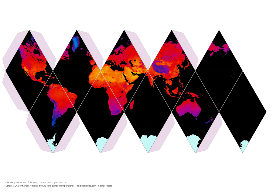
About this globe
Nighttime land surface temperature from MODIS — the same measurement as the Land Temperature globe, taken on the satellite's overnight passes. Hold the two side by side and the deserts flip: bare rock and sand shed their heat the moment the sun sets, because dry air and cloudless skies hold nothing in.
The humid tropics stay warm all night, and the high plateaus that were cold at noon become some of the coldest places on the map after dark.
How the data was captured
MODIS on NASA's Terra satellite measures the thermal infrared glow of the ground on its overnight passes — the surface itself, not the air — averaged over the month of July 2026.
Data: NASA Earth Observations (MODIS land surface temperature) →
Download free — pick your paper size
Print at 100% scale. Cut along solid lines, fold along dashed lines, glue the tabs. Your PDF can take up to a minute to prepare — hang tight after clicking.
In the US? Print the A4 file and choose “fit to page” — it scales cleanly onto Letter paper.
Sharing this globe?
Free for personal use, classrooms, and gifts — not for resale. If you post it on your site or share it online, please credit Folding Globes with a link. Copy-paste blurb:
"Land Temperature at Night" folding paper globe — free from Folding Globes, https://foldingglobes.com/globes/land-temperature-night · Data: NASA Earth Observations (MODIS land surface temperature)
Make it yours
Every paid shape also lets you pin your own places on the map.