Ocean Temperature
The ocean's warm currents and cold upwellings, painted by satellite thermometers.
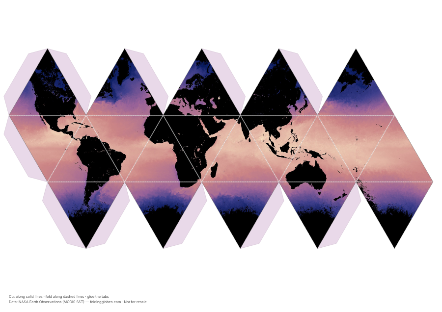
About this globe
The skin temperature of the ocean, measured from orbit by MODIS. Warm tropical water wraps the equator; cold water hugs the poles and wells up along the west coasts of continents.
Look for the warm Gulf Stream peeling away from North America — a river of heat that keeps northern Europe mild.
Download free — pick your paper size
Print at 100% scale. Cut along solid lines, fold along dashed lines, glue the tabs. Your PDF can take up to a minute to prepare — hang tight after clicking.
In the US? Print the A4 file and choose “fit to page” — it scales cleanly onto Letter paper.
Sharing this globe?
Free for personal use, classrooms, and gifts — not for resale. If you post it on your site or share it online, please credit Folding Globes with a link. Copy-paste blurb:
"Ocean Temperature" folding paper globe — free from Folding Globes, https://foldingglobes.com/globes/sea-surface-temperature · Data: NASA Earth Observations (MODIS SST)
Make it yours
Every paid shape also lets you pin your own places on the map.