Snow & Ice
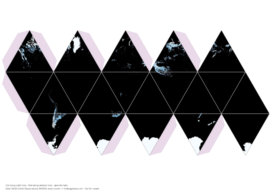
The cryosphere at a glance — satellite-mapped snow cover and sea ice wrapped around a paper globe.
About this globe
Monthly snow and ice cover mapped by MODIS. The cryosphere breathes with the seasons — this globe is one frame of that cycle.
Compare the Himalayas' permanent white against the seasonal blanket across Siberia and Canada.
Download free — pick your paper size
Print at 100% scale. Cut along solid lines, fold along dashed lines, glue the tabs. Your PDF can take up to a minute to prepare — hang tight after clicking.
In the US? Print the A4 file and choose “fit to page” — it scales cleanly onto Letter paper.
Sharing this globe?
Free for personal use, classrooms, and gifts — not for resale. If you post it on your site or share it online, please credit Folding Globes with a link. Copy-paste blurb:
"Snow & Ice" folding paper globe — free from Folding Globes, https://foldingglobes.com/globes/snow-and-ice · Data: NASA Earth Observations (MODIS snow cover)
Make it yours
Every paid shape also lets you pin your own places on the map.