Tectonic Plates
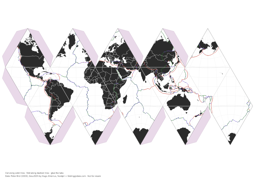
Every plate boundary on Earth, colored by what the plates are doing there.
About this globe
The boundaries of Earth's tectonic plates from Peter Bird's PB2002 model, the standard digital plate model used in geophysics. Color shows the type of boundary: red where plates collide, green where they pull apart, purple where they grind past each other.
Fold it and the mid-ocean ridges become seams running through every ocean — the planet's longest mountain range, almost all of it underwater. Pair it with the earthquakes globe and the dots land on these lines.
- convergent — plates collide
- divergent — plates pull apart
- transform — plates slide past
Data: Peter Bird (2003), GeoJSON by Hugo Ahlenius, Nordpil →
Download free — pick your paper size
Print at 100% scale. Cut along solid lines, fold along dashed lines, glue the tabs. Your PDF can take up to a minute to prepare — hang tight after clicking.
In the US? Print the A4 file and choose “fit to page” — it scales cleanly onto Letter paper.
Sharing this globe?
Free for personal use, classrooms, and gifts — not for resale. If you post it on your site or share it online, please credit Folding Globes with a link. Copy-paste blurb:
"Tectonic Plates" folding paper globe — free from Folding Globes, https://foldingglobes.com/globes/tectonic-plates · Data: Peter Bird (2003), GeoJSON by Hugo Ahlenius, Nordpil
Make it yours
Every paid shape also lets you pin your own places on the map.