Time Zones
Time zone boundaries: in theory straight lines every 15 degrees, in practice pure politics — find China's one enormous zone.
Drag to spin — this is what yours looks like folded.
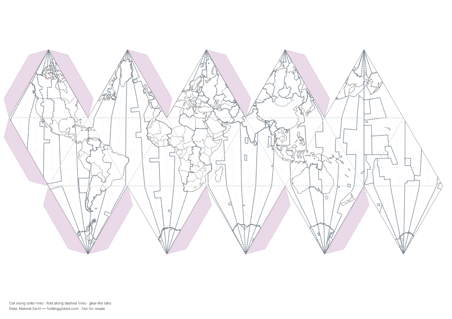
About this globe
Every time zone boundary on Earth, from the Natural Earth 10m cultural vectors. In theory the lines would follow meridians every 15 degrees; in practice they zigzag around borders, islands, and the occasional province that chose its own clock.
Look for China — one enormous zone where five would fit — and the International Date Line dodging island nations in the Pacific.
How the data was captured
Compiled by Natural Earth's volunteer cartographers from national laws and administrative records — nothing was measured; every line on this globe is a human decision about what time it should be.
Download free — pick your paper size
Print at 100% scale. Cut along solid lines, fold along dashed lines, glue the tabs. Your PDF can take up to a minute to prepare — hang tight after clicking.
In the US? Print the A4 file and choose “fit to page” — it scales cleanly onto Letter paper.
Sharing this globe?
Free for personal use, classrooms, and gifts — not for resale. If you post it on your site or share it online, please credit Folding Globes with a link. Copy-paste blurb:
"Time Zones" folding paper globe — free from Folding Globes, https://foldingglobes.com/globes/timezones · Data: Natural Earth
Make it yours
Every paid shape also lets you pin your own places on the map.