Living Green Earth
Where the planet grows: satellite-measured vegetation greenness, from rainforest to desert to tundra.
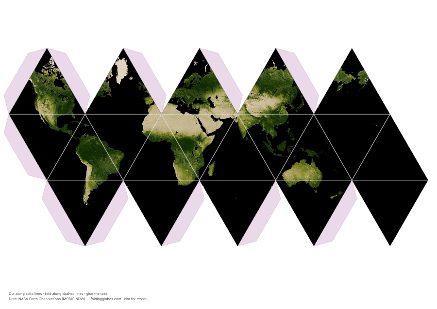
About this globe
Satellites measure how much red and infrared light plants reflect, producing NDVI — effectively a map of photosynthesis. Dark green is dense growth; pale areas are desert, ice, or bare rock.
The Sahara's hard edge against the green Sahel, and the deep green band of rainforest hugging the equator, are the patterns to look for.
Download free — pick your paper size
Print at 100% scale. Cut along solid lines, fold along dashed lines, glue the tabs. Your PDF can take up to a minute to prepare — hang tight after clicking.
In the US? Print the A4 file and choose “fit to page” — it scales cleanly onto Letter paper.
Sharing this globe?
Free for personal use, classrooms, and gifts — not for resale. If you post it on your site or share it online, please credit Folding Globes with a link. Copy-paste blurb:
"Living Green Earth" folding paper globe — free from Folding Globes, https://foldingglobes.com/globes/vegetation · Data: NASA Earth Observations (MODIS NDVI)
Make it yours
Every paid shape also lets you pin your own places on the map.